Service Description
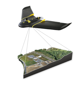
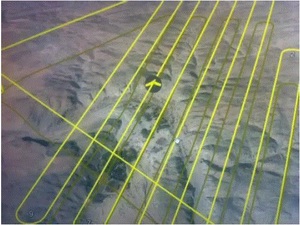
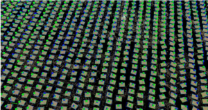
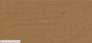
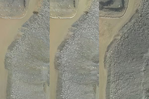
Our aerial division caters to all your needs; from flight planning and dedicated aerial image collection projects to conducting tailor-made aerial surveys in Saudi Arabia. Including geo-referenced, Orthomosaics and Digital Elevation Models. We offer an innovative service that captures high-definition aerial images, which can then be uploaded and processed through software. When using Ground Control Points (GCP), we can achieve sub-meter absolute accuracy.
Crew
The division also ensures a quick turn-around time as it has complete in-house facilities for image processing and feature extraction. The flying crew years of experience in flying over the region with great success.
Equipment
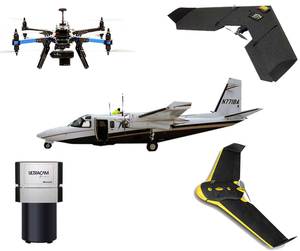
The Aerial Division is fully equipped with a Cessna aircraft, unmanned and aerial photography equipment. Moreover, the fully 5 division can quickly mobilize up to equipped aircraft ensuring smooth operations for parallel projects.
Sensors
VEXEL UCXp CAMERA
LiDAR
THERMAL SENSOR
OBLIQUE CAMERA

